If you're choosing a Martinez neighborhood, you're probably stuck on:
- Understanding why "Martinez" is described as one thing online but clearly feels like multiple different cities depending on where you drive
- Knowing which neighborhoods fall inside Martinez USD vs. Mt. Diablo USD — and what that means for schools before you write an offer
- Figuring out whether the waterfront premium is worth it, or whether you get most of the lifestyle a few blocks inland at a lower price
- Identifying which hillside neighborhoods have active fire hazard designations, and what that means for insurance and defensible space requirements
This guide covers all six Martinez neighborhood clusters with specific price ranges, school assignments, commute realities, and hazard flags — so you can match a neighborhood to your actual life, not a generic listing description.
Already narrowed it down to one or two areas? Talk to Lupe Kemper's team about which Martinez neighborhood fits your priorities →
Found your Martinez neighborhood? Here's what's active right now.
Median $790K · 60 days on market avg · Limited inventory moves fast when priced right.
| Neighborhood | Price Range | School District | Commute Mode | Key Hazard Flag | Best Fit |
|---|---|---|---|---|---|
| Downtown Core | $650K–$800K (condos/TH) | Martinez USD | Walk to Amtrak (0.4 mi) | Flood zone — verify by parcel | Rail commuters, walkability |
| Marina District | $750K–$900K | Martinez USD | Walk to Amtrak (4 min) | Flood zone, salt air maintenance | Boaters, waterfront lifestyle |
| Alhambra Valley | $850K–$1.1M+ | Martinez USD | Drive — 10–15 min to I-680 | Wildfire — verify FHSZ designation | Families, trail access, space |
| Virginia Hills | $800K–$1M | Verify — may be Mt. Diablo USD | Drive — I-680 via Alhambra Ave | Wildfire — verify FHSZ designation | Views, privacy, larger lots |
| Hidden Lakes | $750K–$950K | Martinez USD | Drive to I-680 or Amtrak | HOA restrictions — review docs | Low-maintenance, gated community |
| North Martinez | $690K–$800K | Martinez USD | Drive — 1.5 mi to downtown | Protected EBRPD border — no future development | Entry price, open space access |
Last updated: March 2026
- Walk to Amtrak, Main St dining, Campbell Theater
- Highest walkability in city
- Martinez USD schools
- Verify flood zone by parcel
- 4-min walk to Amtrak station
- Direct marina, bocce, fishing pier access
- Martinez USD schools
- Salt air maintenance premium
- John Muir NHS and Briones RP trail access
- Larger lots, scenic setting
- Martinez USD schools
- Verify fire hazard designation
- Valley and strait views
- Quiet residential character
- School district varies — verify by address
- Verify fire hazard designation
- Community pool, maintained common areas
- Low-maintenance suburban feel
- Martinez USD schools
- HOA — review docs before offering
- Borders Radke Regional Shoreline (343 acres)
- EBRPD protection limits adjacent development
- Martinez USD schools
- 1.5 miles from downtown
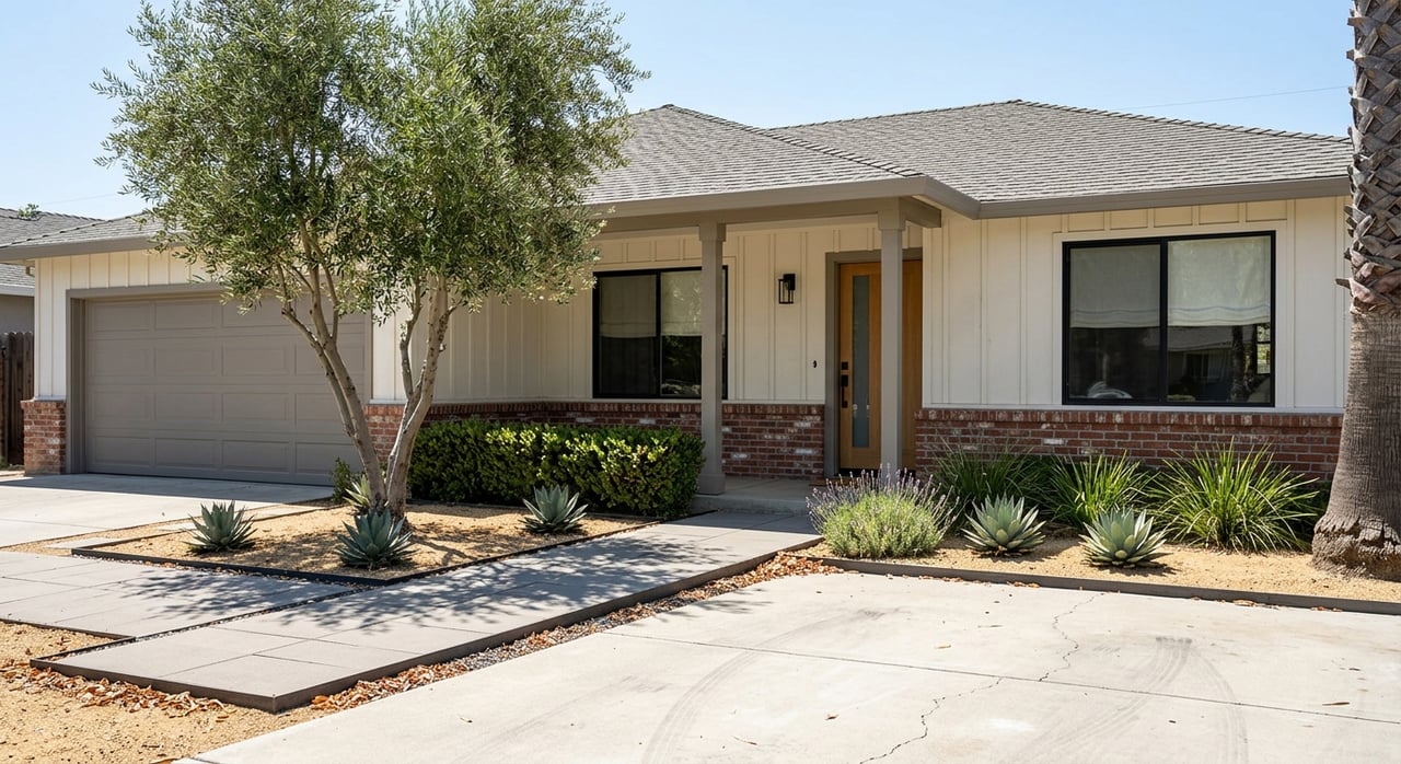
Waterfront and Marina Living — Who It Actually Fits and What It Costs
- Walk to Amtrak, marina, Main Street dining
- 332-slip marina with launch ramp
- Continuous shoreline trail north to Radke Regional Shoreline
- 4th of July fireworks, Martini Festival, farmers market — all within 5 blocks
- Martinez USD schools
- Flood zone — verify designation by specific parcel at FEMA MSC
- BCDC sea-level rise planning context for near-shore parcels
- Salt air accelerates wear on exterior metals, paint, HVAC
- Event parking on festival days — visit before you buy
- Smaller lots — limited yard space
Historic Downtown Streets — The Character Corridor Most Buyers Don't Price Correctly
- Walkable to dining, retail, theater, galleries
- Amtrak access — Capitol Corridor to Oakland and Sacramento
- Historic architectural character — Victorian, Craftsman, bungalow
- County seat employment base nearby
- Martinez USD schools
- Smaller lots — limited yard space
- Older systems — budget for electrical, HVAC, plumbing updates
- Limited off-street parking on some blocks
- Verify school assignment by address — boundaries vary within downtown
- Event parking pressure on festival days
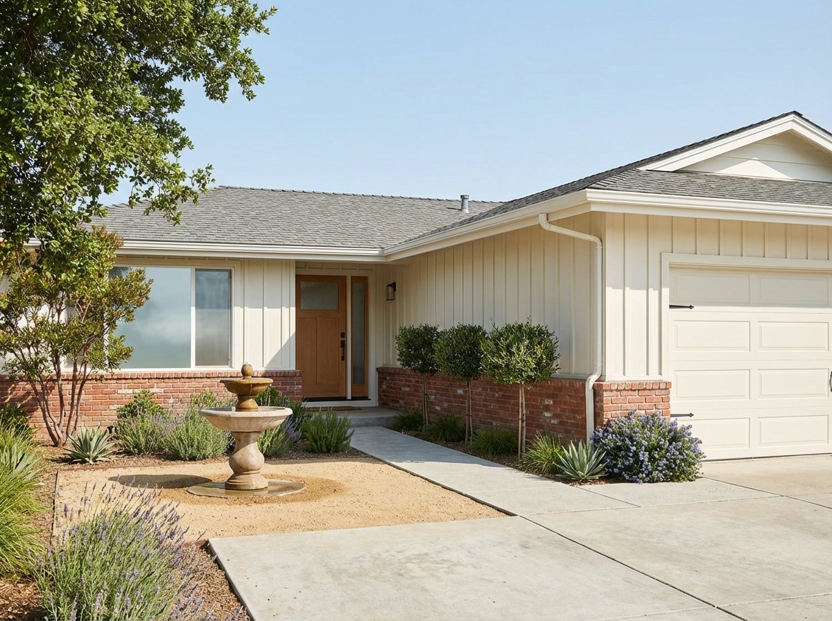
Hillside and Valley Neighborhoods — What Alhambra Valley and Virginia Hills Actually Offer
- Larger lots — space, privacy, potential views
- Direct trail access to Briones Regional Park and Muir NHS
- Quieter residential character
- Martinez USD schools (Alhambra Valley)
- Horse property and equestrian options available
- Fire hazard — verify FHSZ designation at cityofmartinez.org
- Defensible space requirements — active enforcement in designated zones
- Insurance implications — verify homeowners and wildfire coverage
- Drive-dependent — longer trip to Amtrak or BART
- Virginia Hills — verify school district by address; some parcels may be Mt. Diablo USD
The School District Question — The One Thing Every Martinez Buyer Must Verify Before Offering
- Martinez USD: musd.net — 6 elementary, 1 middle, Alhambra High School (7/10 GS)
- Mt. Diablo USD: mdusd.org — serves some properties south of Hwy 4 in Martinez
- Vista Oaks Charter: Open enrollment, hybrid model — vistaoakscharter.org
- Diablo Valley College: Pleasant Hill — 3–8 miles depending on Martinez address
- Key rule: Verify school assignment at the specific parcel address before writing any offer
The Step-by-Step Choosing Checklist — From Short List to Decision
- Pick your top two priorities: walkability, yard size, views, trail access, transit mode, or schools.
- Decide whether Amtrak access or driving governs your neighborhood choice — this single decision eliminates half the map immediately.
- Visit target streets during weekday rush, a weekend morning, and an evening — all three reveal different things.
- Drive your exact commute route or ride the Capitol Corridor during the hours you will actually use it.
- For hillside properties: drive the road in the rain and after dark, and time the descent to I-680.
- Waterfront: Walk the marina and shoreline trail. Confirm slip availability if you boat — call F3 Marina before offering.
- Downtown streets: Do an errands loop on foot. Check parking on your block on a Thursday evening and a festival day.
- Hillsides: Walk a trail from the specific address. Assess defensible space around the property.
- Flood risk: Look up the specific address at FEMA Flood Map Service Center. Get a flood insurance quote before removing contingencies.
- Fire hazard: Verify your parcel's designation using the City of Martinez FHSZ FAQs. Check defensible-space inspection requirements and insurance availability.
- Sea-level rise: Review BCDC guidance for shoreline properties.
- Contact MUSD (musd.net) or Mt. Diablo USD (mdusd.org) directly with the specific parcel address.
- Do not rely on listing data, Zillow school tags, or neighborhood names — verify with the district.
- The city-wide median of $790K masks a $200K+ range across neighborhoods. Focus on closed sales within the specific sub-area, lot size, and condition tier you're evaluating.
- Refresh comps within 30 days of making an offer — the 94553 market moves.
- For near-shore and hillside properties, factor in ongoing maintenance premium (salt air or defensible space) into your total cost of ownership.
- If your commute crosses the Benicia–Martinez Bridge, review toll and carpool details at the Bay Area FasTrak bridge page.
- Weekend trips to Napa or Solano County cross this bridge — a practical consideration for buyers in North Martinez or the Marina District who make that trip regularly.

Lupe Kemper — Lupe Kemper Team, Compass
CA DRE # 01011383 · (925) 997-1290
A Martinez native with over 35 years of Contra Costa County real estate experience, Lupe Kemper has guided buyers through school boundary questions, fire hazard designation research, flood zone due diligence, and neighborhood selection across every sub-area in this guide. Her team's knowledge covers the full 94553 zip code — from the marina corridor to the Alhambra Valley. 1301 Ygnacio Valley Rd #100, Walnut Creek, CA 94598.
From school boundary verification to parcel-level flood zone research — Lupe's team has navigated the specific due diligence questions that matter in every Martinez neighborhood in this guide.
Ready to narrow down your Martinez neighborhood?
Schedule a Neighborhood Consultation →Frequently Asked Questions — Martinez CA Neighborhoods
What are the main neighborhoods in Martinez CA?
Martinez has six distinct residential areas: the Downtown Core (condos and townhomes, $650K–$800K, highest walkability); the Marina District ($750K–$900K, 4-min walk to Amtrak, marina access); Alhambra Valley ($850K–$1.1M+, larger lots, trail access to Briones Regional Park); Virginia Hills ($800K–$1M, views, verify school district by address); Hidden Lakes ($750K–$950K, gated community); and North Martinez ($690K–$800K, entry price point, borders Radke Regional Shoreline). See the full Martinez neighborhood guide →
What is the best neighborhood in Martinez CA?
There is no single best neighborhood — the right fit depends on your priorities. For Amtrak commuters and walkability: Downtown Core or Marina District. For families prioritizing school assignment and outdoor space: Alhambra Valley. For buyers prioritizing views and privacy: Virginia Hills. For low-maintenance suburban living: Hidden Lakes. For the most affordable entry with open space access: North Martinez. The median price difference between the entry and top of this range is over $200,000 — neighborhood selection is a financial decision as much as a lifestyle one.
What school district serves Martinez CA?
The majority of Martinez is served by Martinez Unified School District (MUSD) — musd.net — which includes Alhambra High School (7/10 GreatSchools). MUSD does not accept out-of-district transfer students. Some properties south of Highway 4 fall under Mt. Diablo Unified School District boundaries instead. Always verify the specific school assignment for any parcel directly with the district before making an offer — do not rely on listing data or map overlays.
Are Martinez hillside neighborhoods in wildfire hazard zones?
Several hillside areas in Martinez — particularly in the Alhambra Valley and Virginia Hills corridors — intersect state and local fire hazard severity zone (FHSZ) designations. Before making an offer on a hillside property, verify the specific parcel's designation, defensible-space requirements, inspection status, and insurance implications using the City of Martinez High Fire Hazard Severity Zone FAQs. Wildfire insurance availability and pricing have changed significantly in California — verify coverage before removing contingencies.
How long is the average commute from Martinez CA?
The mean commute time for Martinez residents is approximately 33–34 minutes (U.S. Census ACS). By Amtrak Capitol Corridor from 700 Ferry St: Oakland Jack London Square ~25 minutes, Sacramento ~60 minutes. By car: Walnut Creek ~12–15 min via I-680 south; SF ~45–65 min via I-80 depending on traffic. The nearest BART station (Pleasant Hill/Contra Costa Centre) is ~8 miles south via I-680. For toll crossing details on the Benicia–Martinez Bridge, see Bay Area FasTrak.
Which Martinez neighborhood has the best shoreline access?
The Marina District and Downtown Core offer the most direct shoreline access — both are walkable to Waterfront Park, the 332-slip marina, bocce courts, and the fishing pier. The continuous trail north connects to the 343-acre Radke Martinez Regional Shoreline (EBRPD) via North Court Street. For boaters specifically, the Marina District's 4-minute walk to the Amtrak station and direct marina access makes it the strongest dual-use lifestyle neighborhood in the city. Read the full waterfront living guide →